BEACH DIVE SITES: SEBASTIAN INLET TO VERO
The following is a listing of known dive sites accessible by public and semi-public beaches. Semi-public meaning that there may or may not be parking nearby, but if found, you can walk to the beach via an accessible walkway. Remember, a diver down flag is required at all times while persons with snorkeling or scuba equipment are in the water. Salt water licenses are required for collecting.
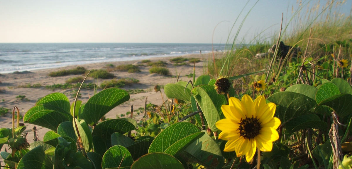
Click on the map below for more information on each site, plus videos and photos
15 mi. N. of Rt.60 on SR A1A
Warning: This is a state park and a navigable inlet. It is hazardous due to boats, fishing line, and strong tidal currents. Popular with jet skiers, sailboarders and surfers. Divers should be warned this is a hazardous area and is not recommended for sport diving
15 mi. N. of Rt.60 on SR A1A
Located on the North Side of the Inlet State Park is a shallow tidal pool with a sand bottom composition teeming with tropical fish, crabs, starfish, shells, shrimp, squid and lobster. There is a small rock jetty enclosing the pool with a 200 ft. wide opening into the inlet. Manatees are commonly seen swimming in the pool. The area is safe as long as you stay well inside the rock boundary, especially during an outgoing tide. Going too close to the edge of the jetty could be very dangerous, causing one to be pulled too far off shore with the current.The safest time to explore this tidal pool is during an in-coming high tide, as the current is then moving toward the shore line. Young snorkelers should be supervised at all times.
14 mi. N. of Rt. 60 on SR A1A
This is one of the newest parks, with plenty of parking. The reef is close to the shoreline with only 3 to 6 feet of depth on the first and second reefs. The reef line extends as far out as 200 yards where the depth reaches approximately 20 feet. With the inlet less than one mile away, tidal currents are strong, out-going tides may bring debris causing poor viz.
13.5 mi. N. of Rt. 60 on SR A1A
Museum is about the 1715 Silver Plate Fleet Wrecks run by the State. It’s neat and interesting; worth the entry fee. This is a semi public access for you cannot dive directly from the museum due to a large rock sea wall that blocks access, but if you park along the river just north of the museum, you will see trails that lead to the beach. Just north of the museum along State Road A1A, there is only soft sand parking, so use caution. Be prepared for a walk. The reef is 20 feet from the beach in 3 to 6 feet of water and further from shore reaches 20 ft deep. This is a state wreck site and in-water salvaging is illegal. One may stumble across a cannon or cannon ball. Remember, these wrecks were wooden ships which have deteriorated completely, the only remnants being made of metal and stone.
12.5miles N. of Rt. 60 on SRA1A
There are numerous accesses similar to this with limited parking (from 2- 6 cars, paved and unpaved). Caution should be used to avoid getting your car stuck in areas with soft sand. This particular area has access tucked between two private beach homes, so it is easy to miss if you don’t watch for it carefully as you drive along A1A. The reef is close to shore, reaching a depth of 20 ft. as you progress out to sea.
9.5 mi. N. of Rt. 60 on SR A1A
The newest public beach with facilities, ample parking, and life guards. This area is virgin territory with very few divers, except for the treasure salvors. There are more quadrant markers for triangulation along this beach than in any other. The salvors have many a wreck pegged out here. The reef is 10 to 20 feet deep approximately 100 feet from the beach. There are several small crevices intertwining through the reef, providing an interesting dive.
8 mi. N. of Rt. 60 - on SR A1A and SR 510
SR 510 is the closest access from the north via US1 from Interstate 95 to all the public beach dive sites from Sebastian Inlet area, all the way down through Vero Beach to Ft. Pierce Inlet State Park. This beach dive site has good parking with facilities, and it is right next door to the Walt Disney Beach Resort. The reef is very shallow in this area and close to the beach. This is the closest access to the Green House wreck and is a popular site for people using metal detectors on the beach.
6.5 mi. N. of Rt. 60
Limited parking. No facilities. Nestled in between two condominium complexes. The reef is about 100 feet from the beach. It is a shallow, low lying reef with small ledges. Due to its close proximity to a popular treasure wreck site, clarity is not always good due to the blower activity of the salvors.
5.8 miles N. of Rt.60
Limited parking and no facilities. This is a popular metal detecting area. This is a marked treasure wreck site. Triangulation markers are used by the salvors for locating the treasure sites. The reef is a fair dive site with low lying ledges. To the south, you will see a point jutting out from the shoreline, marking where the reef line is only 50 ft. from it. It is quite shallow in this area, and when the salvors are in the area the clarity is usually poor due to the blowers used for searching.
1.8 miles N. of Rt. 60
This beach access has life guards, facilities and ample parking. The reef is “scrub-like” approximately 100 ft. from the shore line, ranging 15-20 feet in depth. Another 100 ft. from the shore lies a nicer reef with well-defined ledges, affording nice hiding places for the abundant lobsters. Just south, directly in front of the tracking station, is a trans-Atlantic cable, approximately five inches in diameter which extends to Puerto Rico. If you swim to the south, you should cross it. If you are past the tracking station, you missed it. Once on the cable, you may follow it to the east to locate excellent reef structures.
1.5 miles N.of Rt. 60
Private beach with a pier to the north. The reef begins approximately 150 feet from the beach with good ledges. Caution should be taken near the pier to avoid entanglement in fishing lines, both underwater and on the surface.
1 mile N.of Rt. 60
Nearly one mile long with a boardwalk extending from one end to the other, this is the largest beach area in Vero Beach. Facilities are located in Jaycee Park on the north end of the beach, where there are also life guards and ample parking. The reef is unique in the area with a wide variety of shapes and interesting formations. Within 100 feet from shore is a low-lying ledge with flat areas good for lobstering. From 150 to 300 feet from shore, there are large swim through areas with cave-like openings. On the south end,there are flat rock formations that slope to within five feet of the surface with the maximum depth of 20 feet. This is an excellent reef for divers whether exploring or hunting. It is highly recommended that a surface float be carried in addition to the required dive flag.
Sexton Plaza, end of Rt. 60
Between the Holiday Inn and Ocean Grill Restaurant is the Sexton Plaza, a drive-through parking lot overlooking the ocean. About 300 feet from the beach is a large boiler protruding through the water visible from the shore. This is a nice dive during calm seas. There are two other boilers next to the one which is visible from shore. This wreck was caused by the ship running aground and is now trapped between the fourth and fifth reef lines. There is a substantial amount of structure in only 15-20 feet of water, so it is better to avoid it on days with poor visibility and strong surge. There are barnacles, sharp objects and other growth on it which could be hazardous to a diver during less than optimum conditions. On the reefs in the area, some of the reef line extends to within four feet of the surface, with the maximum depth on the sand bottom at 20 feet. The reef line directly in front of the Holiday Inn is shallower close to shore and becomes larger further from shore.
4 blocks S. of Rt. 60 on Ocean Dr.
This park has all facilities, lifeguards and ample parking. There are five reef areas with sand between each. Only 20 feet from the shoreline, the first reef line begins. It is very shallow and quite silty with very little life. As you progress further from the shore and reach the next 4 reefs, they become progressively larger and reach farther toward the surface with a stair-step effect. There are abundant fish and lobsters on these reefs, an all-around good dive site.
5 blocks S. of Rt. 60 on Ocean Dr.
This is a public street with only street parking for offices and apartments. The reef here is the beginning of the reef known as “Rio Mar Reef”. Close to shore, the reef is “scrub” and 150 feet from shore there are two more reefs. They range from 2 to 9 feet high. Progressing out 300 feet from shore, the reef is very large, appearing as a wall with huge ledge openings. As you move further from shores, the reefs become larger and blend together to form one reef, the Rio Mar Reef.
8 blocks S. of Rt. 60 on Ocean Dr.
This is the best reef on the east coastline and is located only 50 feet from the beach. At low tide, it protrudes from the water and is visible from shore. This reef, unlike the others, is solid even in the shallow areas (15 feet or less), with many cracks, crevices, and ledges which extend for at least 200 yards. Many lobsters make their homes here along with large grouper and even nurse sharks. Toward the south end in front of the golf course is where a 1715 wreck is located. Salvor boats are common in this area, and consequently stir up quite a bit of silt. There is very limited parking, only about 4 spaces that are quite often taken by early morning. There are no facilities.
End of the 17th St. Causeway
This is NOT a good dive site because the reef is over one mile from shore. This is a sandy cove area. Next nearest beach dive is on private property with no public access until you reach Round Island Beach Park.
5.5 miles S of 17th Street Causeway on A1A
This site can be easily missed if you are not observant. Look for the entrance at the stoplight. There is paved parking and facilities. The reef is 150 feet from the beach and is well-formed with large ledges. Beyond the first and second reefs is only sand with small outcroppings, so stay within 200 feet of the beach.